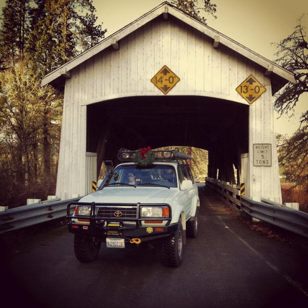
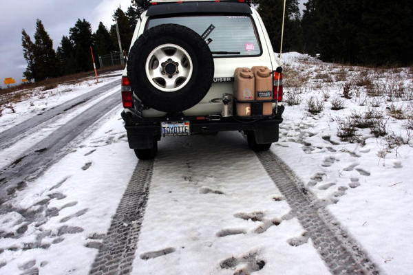
Drive #11: Golden and Silver Falls
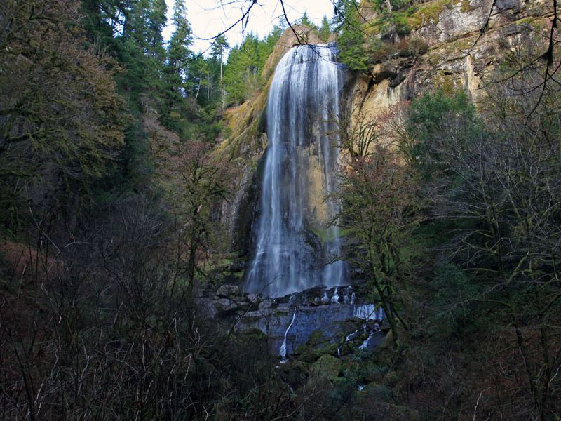
Golden and Silver Falls
Date Driven: 12/29/13
Length: 5.1 miles of dirt road (one way)
My drive time: 11 minutes
Start: Where the dirt begins on East Fork Millicoma Road, N43º 26.610′ W123º 59.324′
End: The parking area at Golden and Silver Falls State Natural Area, N43º 28.934′ W123º 55.948′
GPS Track: GPX or KMZ format. (right click -> Save As)
Source(s): Drive #16, Golden and Silver Falls, in Oregon Byways.
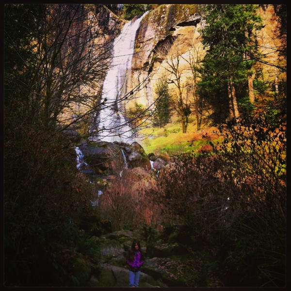
Summary: To reach this drive you’ll first spend some time on some lovely, remote and rural Oregon backroads. The start of this drive begins with about five miles of very mild and well-graded dirt road before ending at Golden and Silver Falls State Natural area. Here you can – and should – make the two short hikes through the woods to see both impressive waterfalls.
Description: It’s roughly a 24 mile drive from Highway 101 by the coast to reach the park. It’s a nice backroad drive, with no real services along the way. There may have been a gas station, but I’m not even sure of that. We were very overdue for lunch when we did this drive, so we had our eyes open for someplace to eat, but we saw none.
Eventually the road turns to dirt, which is where my track starts. But really, don’t do this drive for the dirt road! It’s so easy and flat that’s it’s easily the most boring dirt I’ve ever driven on. The worst potholes wouldn’t intimidate a Miata. Maybe after a lot of good old Oregon rain it’s more muddy and fun.
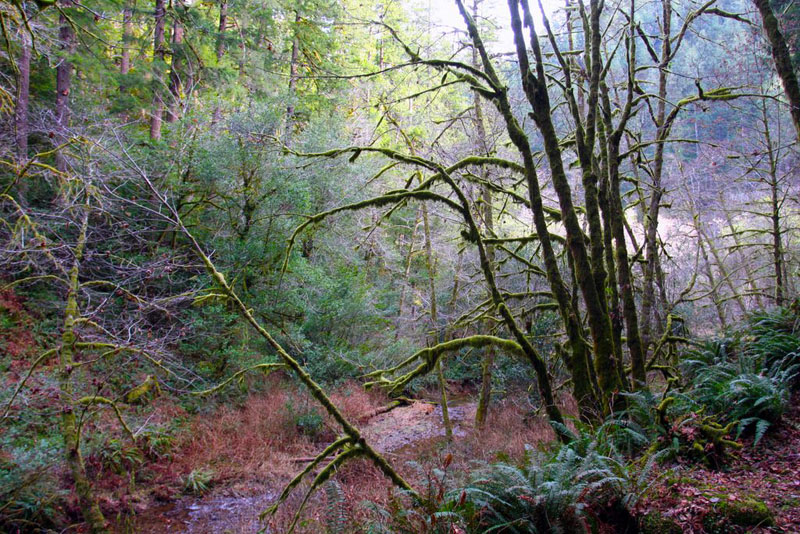
The real reason to make this drive is for everything else: the backroads are pleasant, the rural countryside is scenic, the park is very pretty to hike and spend time in, and the waterfalls are both worth seeing. We really enjoyed our brief visit.
The park has permanent vault-type restrooms and some picnic tables. I didn’t check to see if there was potable water available, sorry. There was no cell signal for this entire drive. You’ll be back on pavement for sometime before you get service.
Golden and Silver Falls Photo Gallery
Disclaimer – This information is provided from the best of my recollection and is necessarily subjective. GPS data is from a personal device inside my vehicle, so coordinates will not be exact. Use of any of this information is at your own risk and responsibility – period. Conditions change (especially in winter), vehicles and driver skills vary, etc. and I have no control over these things. Don’t let anything written here override your own personal common sense or safety.
Drive #10: Siuslaw NF – Devils Lake to Rose Lodge
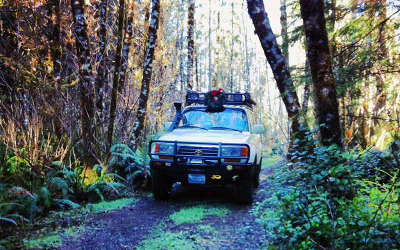
Siuslaw NF – Devils Lake to Rose Lodge
Date Driven: 12/27/13
Length: 7.9 miles
My drive time: 33 minutes
Start: Where the dirt begins on Osterman Cabin Road, N44º 58.228′ W123º 59.246′
End: Bear Creek Road, N44º 59.527′ W123º 53.452′
GPS Track: GPX or KMZ format. (right click -> Save As)
Source(s): This route is not in any guidebook that I am aware of. We scouted it on our own. Conditions and regulations may be found on the Siuslaw National Forest website.
Summary: A short drive on dirt roads in the lush Siuslaw National Forest. Starting in Lincoln City just a short distance from coffee shops, restaurants and an outlet mall, you can quickly escape into the woods for a scenic drive. There are plenty of connecting trails you can explore, but you could also easily get lost among them without good maps and a GPS. Some trails have closed gates, dead ends, or other obstacles. This route is pretty straightforward and easy.
Description: Near its intersection with East Devils Lake Road, Osterman Cabin Road quickly becomes NF-1726 according to my mapping software. After several miles we turned onto a narrower, more overgrown side road. That eventually brought us back onto NF-1726 until near the end of the drive, when we briefly were on another road or two(?) before ending at paved Bear Creek Road, a bit south of Highway 18.
The route was well-maintained and graded dirt road for most of the drive, watching for the occasional potholes and whoop-dee-doos. At times the encroaching vegetation crowded the trail, or we had to carefully squeak past low branches and partially fallen trees. I was very happy that I had lowered my ham radio antenna at the start of the drive. Near the end of the drive, there were a couple of short stretches of pavement.
I look forward to exploring more of these forest roads which extend far east and south of here. It should be possible to eventually reach the former Valsetz town site (Drive #13 in Oregon Byways) and beyond. Drift Creek Falls is just a few miles southeast too. It appears that some roads in the forest are regulated by logging companies, with public access only permitted on weekends, but on this route we encountered no such signage or issues.
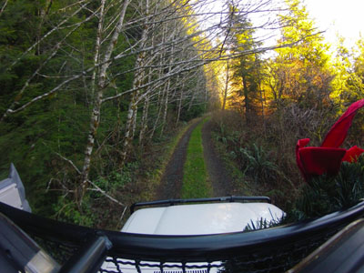
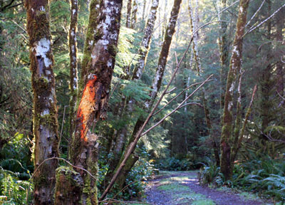
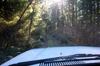
Images from the drive, click for larger size:
Disclaimer – This information is provided from the best of my recollection and is necessarily subjective. GPS data is from a personal device inside my vehicle, so coordinates will not be exact. Use of any of this information is at your own risk and responsibility – period. Conditions change (especially in winter), vehicles and driver skills vary, etc. and I have no control over these things. Don’t let anything written here override your own personal common sense or safety.
Oregon 2013 – Part Two
Moving into the second half of our 2013 Oregon road trip, I’m going to break things down by date. When we last left off, our intrepid family had spent the night at Dan and Kathy’s epic log home, with Carrie and I sleeping in the big trailer. Knowing that Allison would be up for Christmas morning early, the alarm went off at 7am. We got dressed and dragged our sorry butts over to the house, in search of coffee…
Dec. 25th – “The Precious” coffee located and consumed, we had a nice warm breakfast and opened the Christmas gifts. Allison got not one but two robots. One is very noisy and plays music while dancing and I kind of want to shoot it with a shotgun. I got several books I wanted including three books in the Secret Places in the Mojave Desert series, as well as Pablo Rey’s Around the World in Ten Years.
Sometime after noon we said our goodbyes and hit the road again, heading back to Lincoln City, on another three hour drive. Along the way we stopped in Astoria and revisited the wonderful Astoria Column. It’s a long climb (164 steps) to reach the top of the 125-foot column, but it’s always worth it. The views were spectacular in every direction. Check the gallery if you don’t believe me!
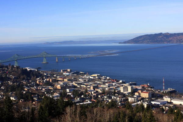
Astoria and the bridge over the Columbia River into Washington state, as seen from the top of the Astoria Column.
We then stopped briefly along the bank of the Columbia to watch some ships, drive through a small shipyard, and we unexpectedly spotted a pair of bald eagles. Pretty cool!
We had a big lunch at McMenamins Gearhart Hotel & Sand Trap Pub and eventually arrived back in Lincoln City at sunset, road weary but content. It had been a fine Christmas!
Dec. 26th – This was a rest and recovery day. Carrie and I did get out for a bit, picking up some caffeine at Pirate Coffee in Lincoln City, and then spending a short time doing an initial exploration of some dirt roads in the Siuslaw National Forest.
There are a lot of those roads and this was my first time exploring them in the area east of Devil’s Lake. At some point I would like to clearly identify good routes to the former Valsetz town site, as well as the Fall Creek area, and beyond. As it was, this was just a quick trip to verify an entry road and about 3-1/2 miles of the main forest road there before doubling back. Still, it was nice to get in a little dirt, and some exploration.
Dec. 27th – While Allison and her grandfather walked the beach at Road’s End, Carrie and I returned to the forest roads, looking to push through further and continue the exploration. We ended up making a 7.6-mile drive through the beautiful and verdant forest trails before emerging in civilization once more. That route will be detailed in an upcoming Drives post.
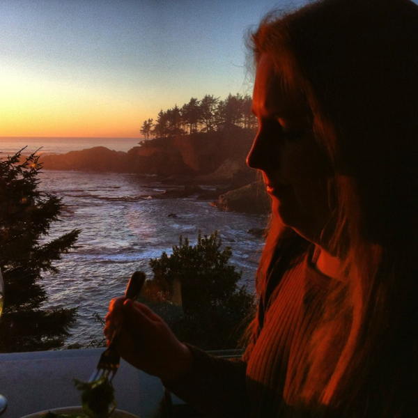
Later we all went to a sunset dinner at the very nice Tidal Raves restaurant in Depoe Bay. The food and service were excellent and the restaurant’s perch above a rocky cove is magnificent. I had the mahi mahi fish tacos which were just right, accompanied by a margarita, and ending with a nice house-made peach sorbet for dessert.
It was another very good day.
Dec. 28th – This was our last full day in Lincoln City. We hung out for much of the day, with the family taking a long walk on the beach. We then drove down to Newport, stopping at Cape Foulweather as sunset approached, then heading into the old harbor area at Newport for dinner. Our first choice of restaurants wasn’t open and had recently changed ownership, so we instead went to a semi-Thai place. It was off-season so we were nearly the only customers. The service was haphazard at best, but the food was tasty.
Dec. 29th – The day we start home is always tough. We have to pack everything up into the Land Cruiser, which is no fun, and we have to say goodbye to Carrie’s folks. We’re always sad to have to go, but alas the time always comes.
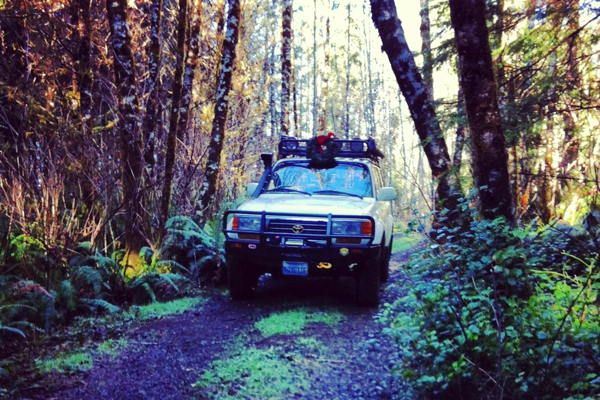
We drove south along the coast until we reached the big side trip of the day, our delayed visit to the Golden and Silver Falls State Natural Area. We enjoyed the rural backroads drive even though we were getting hungry, but there was no place for food for many miles. We finally broke out some cookie packs I had in the back of Toyotie to tide us over. At the park, we enjoyed the short but beautiful hikes through the woods to both of the stunning waterfalls. More on that visit will be detailed in another upcoming Drives post.
After the park we had to backtrack much of the way towards the coast again before turning back east and then south to our traditional Grants Pass stop. We had dinner at Wild River Brewing again before settling in at our hotel for the night.
Dec. 30th – The morning in Grants Pass greeted us early with a chilly 28ºF, with what they call a “freezing fog”. We had our usual breakfast at the Train Depot again before driving south back into California. We’d had rain on only one day during the entire trip, which was unusual.
Near Mount Shasta we took our second side trip of the return trek, over to the east side of Mt. Shasta where we explored and drove more dirt National Forest roads, including Military Pass Road, used by settlers since the 1850s. That was a very fun time and again will be detailed in an upcoming Drives post.
From there it was a long endurance drive back home. Other than one more stop for gas and food (Burger King, ugh, speaking of gas) it was just a long and uneventful drive. Did I mention it was long? Because it was. Too long.
We got home a bit after dark, dragged in some of the essentials, and eventually crashed in our own beds for the first time in 10 days. It had been a good road trip! We’d racked up about 1,400 miles on pavement and 50 miles off, without any major drama.
Dec. 31st – On the last day of 2013, it was time to rest and recover from all that driving… And stay up late, of course, with a little champagne and our traditional olive cheese balls. Hey, it works for us!
We wish you all a very happy and prosperous – and adventurous – 2014!
Oregon 2013 – Part One
Happy 2014!
We wrapped up 2013 with our annual road trip to Oregon to visit family. Of course, we also took the opportunity to explore some trails and see some sights along the way.
We always look forward to this trip. And with 2013 having been a difficult year, we really were ready to put our daily lives aside for ten days and just try to relax and enjoy ourselves for a short time, and take a much-needed break. Once we got past the early stresses of packing, making sure we had everything in order, and hitting the road, we quickly settled into a groove. “On the road again….”
The weather was unseasonably dry for the time of year, with very little snow to be found. In fact, I’m pretty sure that we had more snow (and rain) on every previous trip over the last dozen years. And since this was a late December trip, it was even more unusual. On the plus side, it was nice to have some sun in Oregon for a change and it definitely made the long drives easier. And we did find just a little snow to play in.
Speaking of driving, as usual we spent a lot of time doing just that. On the 10-day trip, 6 days featured drives of 3 hours or more. Sometimes much more! Maybe about 34 hours or more in total. I put in over 1,400 miles driving the Land Cruiser, plus we probably got in another 400 miles in the in-laws’ vehicle. Having the dual gas tanks in the Land Cruiser is a blessing, reducing the number of required fuel stops on the trip and giving greater flexibility for when and where we stop.
The trip schedule was pretty typical for us. We drove for seven hours up to Grants Pass on day one, having dinner at Wild River Brewing and breakfast at the Train Depot before continuing north the following morning. We drove up I-5 until making our way over to the coast on pretty Highway 38, and then north to Newport and Rogue Brewing’s headquarters for an always-anticipated lunch. From there it was under an hour’s drive to our primary destination, my in-laws’ home in Lincoln City, on Sunday night.
I had several side trips in mind along this part of our drive, but with the weather outlook being good for the trip home I decided to save them until then. This way we’d get up to be with family as quickly as possible. So it was pretty much a straight shot from San Jose to Lincoln City, with just a few quick diversions along the way.
Monday was a day of rest & recovery, and we didn’t get out of the house until we drove up to Pacific City for a sunset dinner at the Pelican Pub. Tuesday was Christmas Eve and we had a 3-hour drive to Astoria and then east to Clatskanie to Dan & Kathy’s epic log home where the family was gathering for Christmas. We overnighted there and had a wonderful, laugh-filled time. Although it was no white Christmas this year, we had a “white elephant” Christmas Eve gift exchange that was a lot of fun… Good times!
The house was full with all of the visiting relatives so for the first time Carrie and I were put up in Dan and Kathy’s big trailer, complete with heat, shower, bathroom and satellite TVs! It was a fun experience for us, especially as we’re used to tents. And we slept well, until getting up too early as always on Christmas morning. Most of the adults – including me – then went straight for the coffee pot.
And so the first several days of the trip blew past in a bit of a blur… And I’ll wrap up the general trip report with part two next. I’ll also have the Drive posts which will cover the side trips we did manage to do.
Here’s the Oregon 2-13 Photo Gallery #1.
As a side note, here’s a collection of links to our previous Oregon road trip reports, just to put them all in one place:
Oregon 2001
Oregon 2006
Oregon 2007
Oregon 2008
Oregon 2009 part 1, part 2, part 3, part 4
Oregon 2010 part 0, part 1, part 2, part 3, part 4
Oregon 2011
Oregon 2012
Oregon Road Trip Drives: Klamathon Road, Coos Bay Wagon Road, North Fork of the Siuslaw River, Mt. Hebo

