Drive #11: Golden and Silver Falls

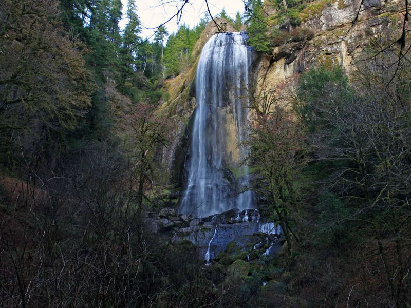
Golden and Silver Falls
Date Driven: 12/29/13
Length: 5.1 miles of dirt road (one way)
My drive time: 11 minutes
Start: Where the dirt begins on East Fork Millicoma Road, N43º 26.610′ W123º 59.324′
End: The parking area at Golden and Silver Falls State Natural Area, N43º 28.934′ W123º 55.948′
GPS Track: GPX or KMZ format. (right click -> Save As)
Source(s): Drive #16, Golden and Silver Falls, in Oregon Byways.
Summary: To reach this drive you’ll first spend some time on some lovely, remote and rural Oregon backroads. The start of this drive begins with about five miles of very mild and well-graded dirt road before ending at Golden and Silver Falls State Natural area. Here you can – and should – make the two short hikes through the woods to see both impressive waterfalls.
Description: It’s roughly a 24 mile drive from Highway 101 by the coast to reach the park. It’s a nice backroad drive, with no real services along the way. There may have been a gas station, but I’m not even sure of that. We were very overdue for lunch when we did this drive, so we had our eyes open for someplace to eat, but we saw none.
Eventually the road turns to dirt, which is where my track starts. But really, don’t do this drive for the dirt road! It’s so easy and flat that’s it’s easily the most boring dirt I’ve ever driven on. The worst potholes wouldn’t intimidate a Miata. Maybe after a lot of good old Oregon rain it’s more muddy and fun.
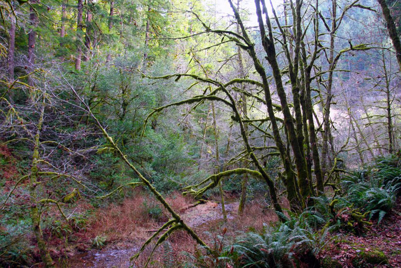
The real reason to make this drive is for everything else: the backroads are pleasant, the rural countryside is scenic, the park is very pretty to hike and spend time in, and the waterfalls are both worth seeing. We really enjoyed our brief visit.
The park has permanent vault-type restrooms and some picnic tables. I didn’t check to see if there was potable water available, sorry. There was no cell signal for this entire drive. You’ll be back on pavement for sometime before you get service.
Golden and Silver Falls Photo Gallery
Disclaimer – This information is provided from the best of my recollection and is necessarily subjective. GPS data is from a personal device inside my vehicle, so coordinates will not be exact. Use of any of this information is at your own risk and responsibility – period. Conditions change (especially in winter), vehicles and driver skills vary, etc. and I have no control over these things. Don’t let anything written here override your own personal common sense or safety.


Looks like a lovely drive and walk! And not long so it breaks up a trip well without taking up the whole day. Climbing monkeys love climbing!
January 21st, 2014 at 6:11 pm