Drive #12: East Side of Mt. Shasta

East Side of Mt. Shasta
Date Driven: 12/30/13
Length: 30.8 miles (20.8 miles on dirt roads, 10 miles paved)
My Drive Time: 1 hour 7 minutes
Start: Intersection of Highway 97 and Military Pass Road, N41º 33.530′ W122º 12.545′
End: Intersection of Pilgrim Creek Road and Highway 89, N41º 15.251′ W122º 04.504′
GPS Track: GPX or KMZ format. (right click -> Save As)
Source(s): This drive is very similar to Trail #1, Mt. Shasta Loop in Well’s Guide to Northern California Backroads & 4-Wheel Drive Trails. Military Pass Trail is Trail North Coast #34, and another Mount Shasta Loop variation is Trail North Coast #33, in Massey & Wilson’s Backcountry Adventures Northern California.
I checked the current status of Military Pass Road and others on this USDA Forest Service page.
Summary: This drive was a scenic detour from busy I-5 on our annual Oregon road trip. Starting northeast of Mt. Shasta from Highway 97, we took historic Military Pass Road south, then passed along Mt. Shasta’s eastern side on various Forest Service roads. The woods were lovely, and the trails generally easy. There are many camping options (some seasonal) and side trails, some leading to various Shasta trailheads.
Description: We began at Highway 97, at the intersection of the northern end of Military Pass Road. The latter is a dirt road that’s loosely based on an old pioneer route dating to the 1850s. Back in those days, you’d have to be wary of attacks by native American Indians as you went. Things seem calmer now that the emigrants and stagecoaches are gone.
The trail started off a little rough in places, which was fun, with some sections of moderate washboard. But it was still easy driving that only got easier the further south we progressed.
For several miles, the land on the north side of Military Pass Road is part of the Klamath National Forest and travel in that land is seasonally controlled. You’ll see signs about that. There are side trails and camping areas there, when you’re allowed.
In the land to the south (part of Shasta-Trinity National Forest) there are many other side roads, hiking trailheads, designated camping areas as well as opportunities for dispersed camping. There is also the Mount Shasta Wilderness with its own set of rules. Be sure to check regulations, fees and conditions if you plan to venture into these areas.
I chose my general route after seeing the Shasta Loop options in two of my guidebooks, and then consulting my maps. Then as we drove along, I made decisions based on the posted signs (both directional and detour) and by following the obvious (to me anyway) roads. We had no issues and made good time, which was an important consideration given how much driving I still had ahead of me that day.
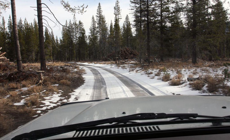
We were fortunate to have dry conditions with little snow on the ground, which is definitely not normal for the end of December. The road here would usually be closed and/or impassible for much of winter. I confirmed online that the roads were open prior to attempting them, and knew we’d have clear, dry weather for the drive. One of my guidebooks advises against driving these trails when they are wet or snowy.
After several miles, the forest trails widen considerably, into what appear to be logging roads. They are well-graded and signed. Eventually (and unfortunately) they also become paved for the last 10 miles, before winding up at Highway 89, which we took back to I-5.
There were no services along this drive for us, although the permanent campgrounds probably have pit toilets when open. We didn’t visit any though, and I think they were all closed for the season. I didn’t have AT&T cell/3G signal for most of this drive, although I only checked a few times.
This was the longest and most fun offroad drive we had of our Oregon Road Trip. The area is very pretty, even where it’s been heavily logged. I’d like to return in the open season (April through mid-August) and explore the many side trails and do some camping here, in the shadow of stunning Mt. Shasta.
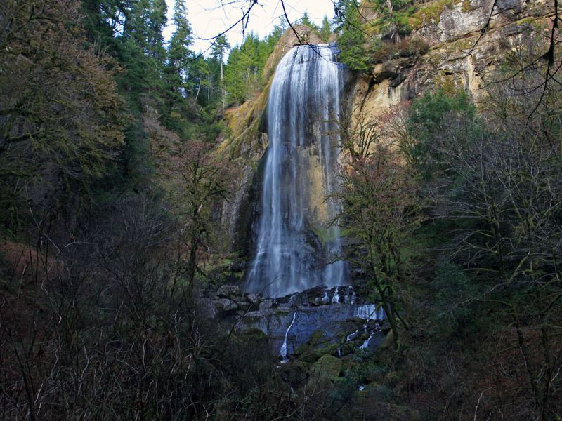
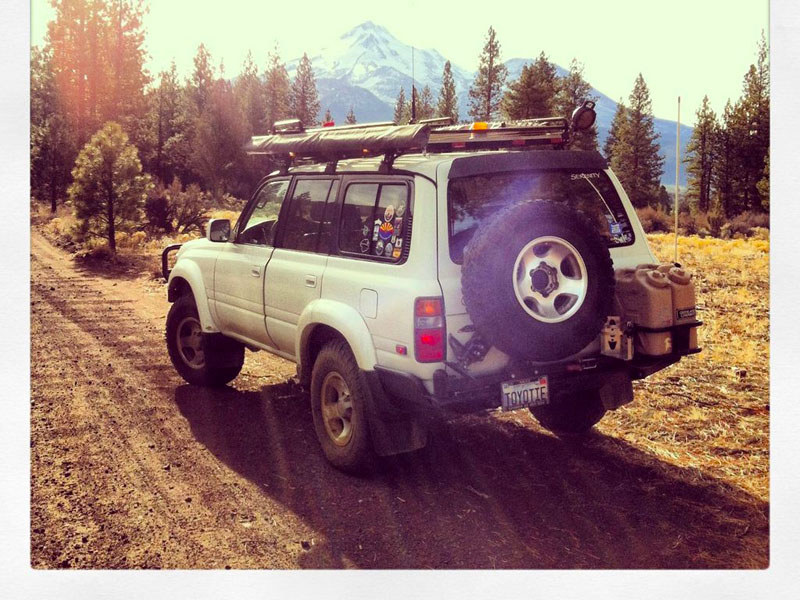
East Side of Shasta Photo Gallery
Disclaimer – This information is provided from the best of my recollection and is necessarily subjective. GPS data is from a personal device inside my vehicle, so coordinates will not be exact. Use of any of this information is at your own risk and responsibility – period. Conditions change (especially in winter), vehicles and driver skills vary, etc. and I have no control over these things. Don’t let anything written here override your own personal common sense or safety.
In 2010 we took one of those side roads up the flank of Ash Creek Butte as far as we could and then bush-whacked up to the summit. Quite a view of Shasta from up there.
January 20th, 2014 at 2:15 pmThanks for the tip, Phil. I’m eager to return to the area and spend some quality time there!
January 20th, 2014 at 3:55 pmLooks like a not-too-full-on but lovely and scenic drive. 🙂 It’s nice seeing Shasta from a different angle.
January 21st, 2014 at 6:07 pmIt is a very nice trail too cruse but it got washed out 2 years ago so I don’t know if its open yet all the way through to Shasta from Weed CA. I will check and let you know as soon as I can.
July 23rd, 2016 at 3:00 amI did the Military Pass road this August (2017) and it is in pretty good condition, only a few rough parts. Beautiful drive with lots of camping spots on National Forest land.
I had stopped in Shasta City and visited the visitor’s center and told the lady we were doing Military Pass – she asked us why in the world we would do that and to sign in so they would know where to find our bodies. Pretty funny that.
September 1st, 2017 at 8:16 pmThanks for the update, Norcal64. That was a pretty entertaining response from the lady at the visitor’s center too. Some people clearly have a very sheltered view of life. 🙂
September 1st, 2017 at 8:30 pm