Slate Mountain GPX File available
I’ve created a GPX file that is available for download. (Right click -> Save As to download) The file contains the track from our NS14 drive, from Wentworth Springs Drive in the north down into Placerville in the south. I’ve cleaned up the track some. It also contains the waypoints from Massey’s book which I have adjusted to better fit the track. I often corrected the waypoints right on the trail as we went, although some were done after the fact. I didn’t attempt to correct waypoints that we didn’t visit, but I did add a couple as points of interest along the way. I think the coordinates in my waypoints should be better than what is in the book, but YMMV. Use at your own risk.
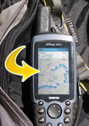
FWIW, we found that Garmin’s City Select/Navigator products had very accurate maps of the roads along NS14, and we only really diverged from the road between waypoints 10 and 13.
This file and information will also remain available on the Slate Mountain/NS14 gallery index page. I hope the file will be useful to someone as part of their trip planning. Please let me know if you have any feedback regarding the information.