N34° 48.072' W 121° 16.300'
In my ongoing attempt to locate more dirt roads in this over-paved region of California, my daughter and I made a drive down east of Hollister into the Santa Ana Valley area. It was new territory for me, which is always a good start.
It turned out to be a picturesque backroad drive through the valley, with a few stops for pictures and geocaches along the way.
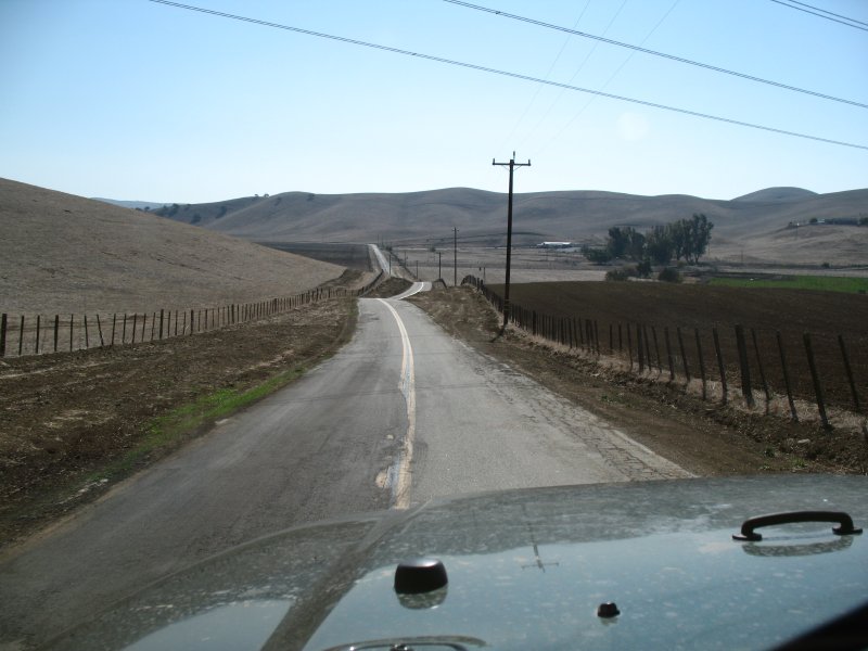
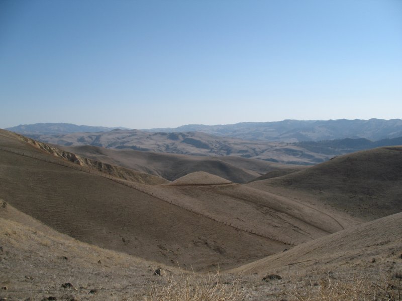
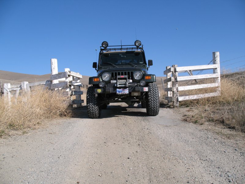
After driving down the main road through most of the valley, we reached our main destination for the trip, a six mile long dirt Browns Valley Road heading southwest, almost to Highway 25. It was thoughtfully marked with a geocache to help me find it, and I enjoyed the easy and scenic drive. We’ll definitely be back when the hills are green again.
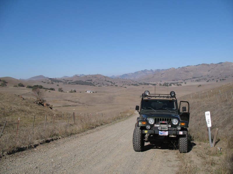
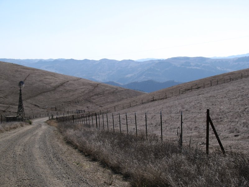
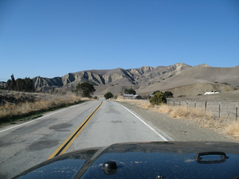
The road passed through ranches, farms, and vineyards before ending at Panoche Road. We took that road southwest about twelve miles to collect some more geocaches and see more of the area, since I’d only been through here once before. The drive reminded me a little of dry, dusty Del Puerto Canyon, but it was certainly more open and it looked more civilized.
After the last cache find for the day, we reversed course (and having to stop almost immediately for several wild turkeys in the road) and headed back home via Paicines and Tres Pinos, which is the kind of tiny old town I really enjoy.