Drive #27: Mauna Kea
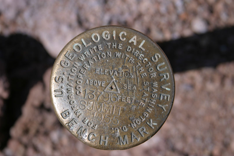
Mauna Kea summit marker
Date Driven: 4/23/09
Length: 8.4 miles (one way)
My Drive Time: 20 minutes
Start: Mauna Kea Visitors Center, N19º 45.558′ W155º 27.384′
End: N19º 49.330′ W155º 28.050′
GPS Track: GPX or KMZ format. (right click -> Save As)
Source(s): This drive and the general area are described in Hawaii The Big Island Revealed, The Ultimate Guidebook. I have the 5th edition of this book, but an updated 7th edition is available.
Summary: Hawaiian snow and spectacular views await the adventurous at the top of Mauna Kea’s nearly 14,000′ summit.
Description: This drive starts at the Mauna Kea Visitor Information Center, located at roughly 9.300′ in elevation. Our day had started at sea level near the beaches on the western side of the island, so this had been quite a climb for us, and we still had almost 5,000′ to go.
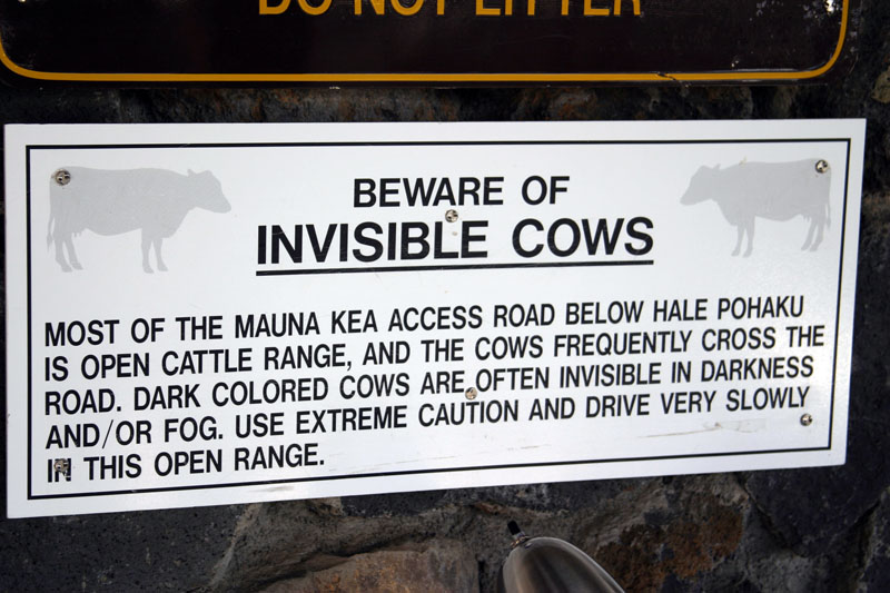
Pausing for lunch at the Visitors Center gave us time to get used to the elevation, get rehydrated and fed, and use the restrooms. And buy a “Beware of invisible cows” bumper sticker, of course.
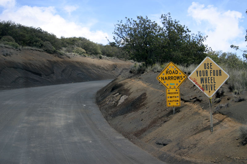
The well-graded dirt section starts here.
Returning to the road, it quickly becomes dirt for the next 5 miles or so. When we were there, this section was well-graded and suitable for normal passenger cars, although we were in a 4×4 pickup due to stupid rental company rules. The powers that be here also request that 4×4 be used to minimize wheel spin, to help preserve the road surface.I can’t imagine that it really makes much difference but there you go. The last 3.4 miles to the summit are paved.
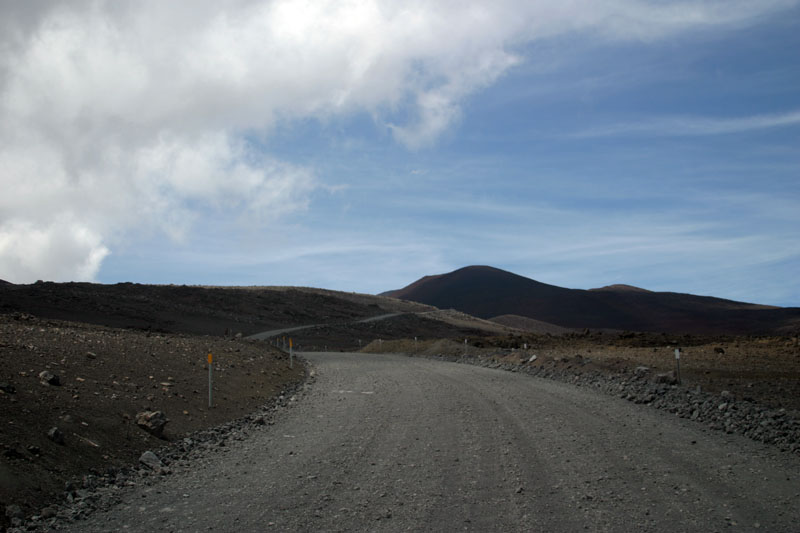
The drive up and subsequent return were very easy, just a bit steep here and there. There was no snow on the roads themselves, despite it being elsewhere on top of Mauna Kea.
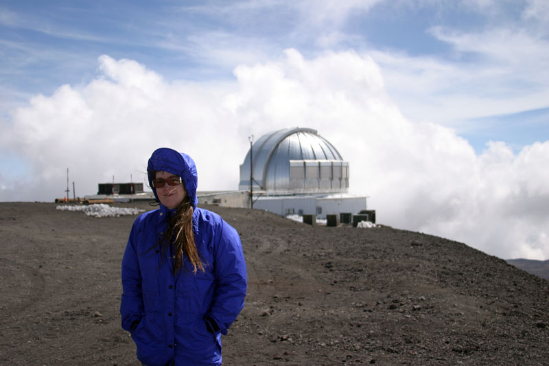
At the summit area, we enjoyed checking out the astronomical research buildings and the epic, majestic views. It was really beautiful, but also windy and quite cold. You’ll want to layer up for sure. The clear, fresh air was quite unburdened by oxygen, and it surely had effected us after such a dramatic change in elevation over a very short period of time.
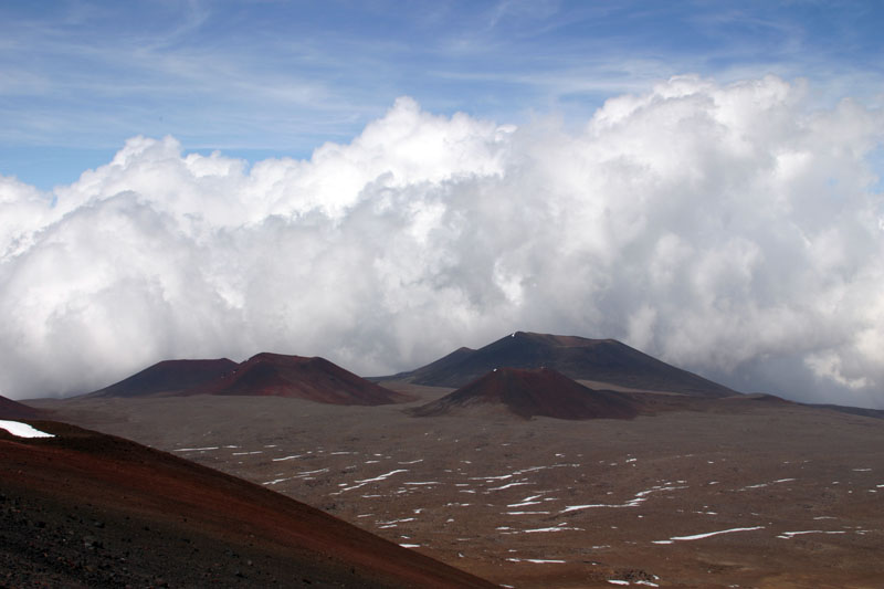
Some of the views from the Mauna Kea summit area.
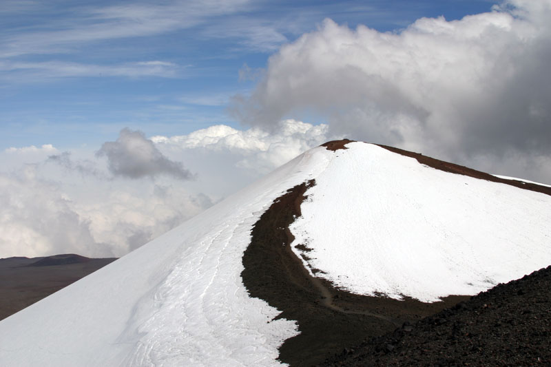
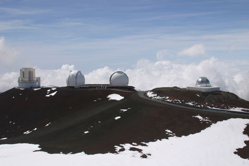
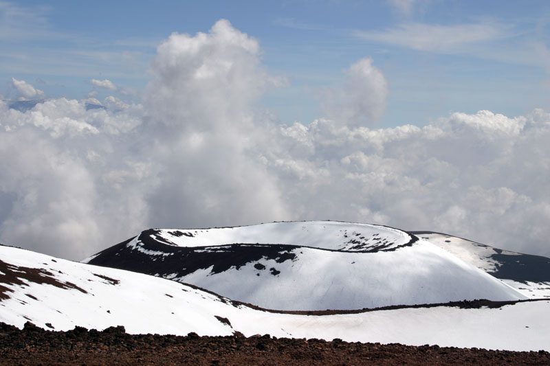
The only other concern here is the weather. It seems that if you get here at just the wrong time (right when a big storm hits) it’s possible to get snowed in at the top for up to a couple of weeks! I’d have to imagine that would be a rare and extreme scenario, but we were warned about it and I wanted to pass along that information.
In a previous post I described the logistics and drive getting to the Visitors Center, and another post covered this drive to the summit and back down, so I won’t repeat those here. Also please note that my GPS track here is one-way, from the summit area back down to the Visitor Center, to simplify things. The track has been edited to remove my driving around up on top, as well as my side hike up to the actual summit and associated benchmark disk.
Please note that there are various restrictions and recommendations regarding access to the summit of Mauna Kea. These include the recommendation of having proper 4WD, no one under 16 years of age or with heart or respiratory issues, do not go within 24 hours of diving, etc. Also, many rental agreements specifically disallow visiting the summiut in their vehicles, whether 4WD or not.
Welcome to Hawaii.
Disclaimer – This information is provided from the best of my recollection and is necessarily subjective. GPS data is from a personal device inside my vehicle, so coordinates will not be exact. Typos are possible. Use of any of this information is at your own risk and responsibility – period. Conditions change (especially in winter), vehicles and driver skills vary, etc. and I have no control over these things. Don’t let anything written here override your own personal common sense or safety.
