Drive #20: Badwater Basin Loop

Drive #20: Badwater Basin Loop
Date Driven: 12/30/11
Length: 73.2 miles. Half-paved, half dirt.
My Drive Time: 2 hours 48 minutes (includes stops for lunch, walking, etc.)
Start: Badwater Road and West Side Road, N36º 21.837′ W116º 50.645′
End: Same as Start.
GPS Track: GPX or KMZ format. (right click -> Save As)
Source(s): West Side Road is Trail D32 in Backcountry Adventures Southern California. Much of this Drive is covered in Excursion #6 in Death Valley SUV Trails and Trip Route SC-1 and SC-3 in The Explorer’s Guide to Death Valley National Park. Of course it’s also on the National Geographic map of Death Valley.
Summary: Experience the lowest elevation in North America. Half this drive is on pavement, half is well-graded dirt road. All of it is cool.
Description: We reached this Drive from inside Death Valley NP, after topping up our fuel at Stovepipe Wells. Again. We also stopped to check out the shop at Furnace Creek before making the short drive south to where this Drive begins, heading south on Badwater Road.
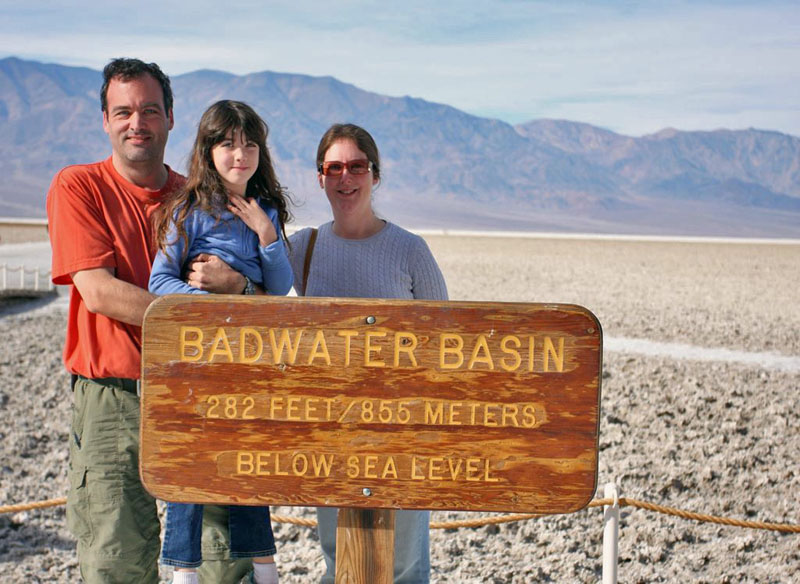
We stopped at the main Badwater Basin parking lot – which was nearly full – and walked a half mile out onto the salty flats to check it out. My GPS showed our elevation as low as -270′ here. We tasted the salty crust of the basin, marveled at the wonder of this place, and then walked back. There were lots of people here, and this is said to be one of the most popular places in the park.
From there we continued south, past a spectacular alluvial fan or two, until we reached the intersection with the southern end of West Side Road.
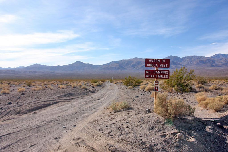
One of several side roads off of West Side Road
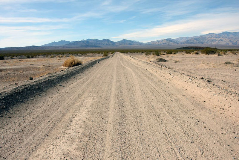
West Side Road is all dirt. There was a short stretch of mild washboard near the beginning, but it was nothing compared to Racetrack Road, thank the gods. The road had been very well graded sometime recently it seemed, and we were able to cruise along at the speed limit with no trouble, just being careful to watch for loose dirt in some corners and such. We saw other SUVs, some old Series Land Rovers, and a couple of vans on the road here.
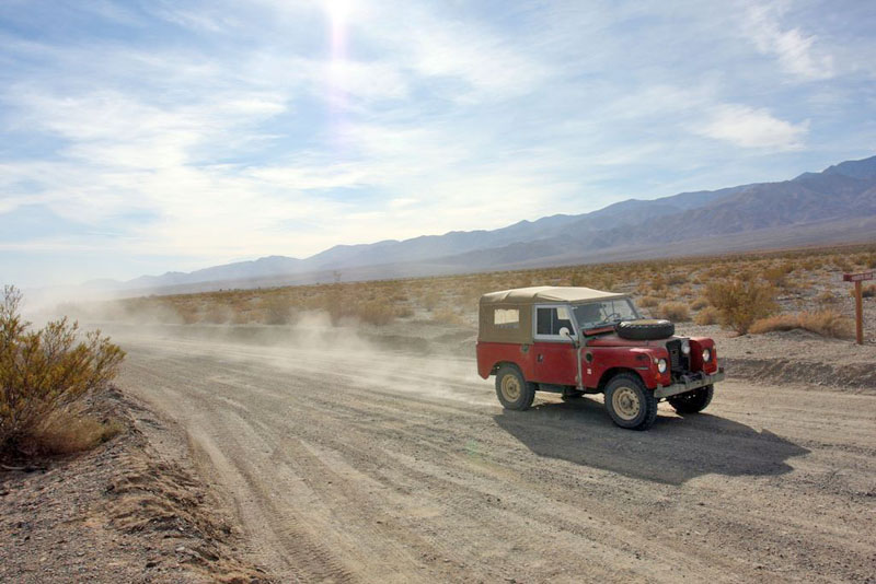
We drove out to Shorty’s Grave, which we checked out along with the two benchmarks here, which are the lowest ones in the NGS database, if you’re into that sort of thing. There are actually two graves here, that of old prospector “Shorty” Harris (who died aged 74 in 1934) and Jim Dayton, a fellow prospector. We ate lunch where we were parked on the side of the road, which is when the old Land Rovers came past, much to my excitement.
After lunch we cruised the rest of the way up West Side Road, which was a blast to drive. If only there were no speed limit, and I was in a WRC rally car… The road here crossed over the basin and there were more of the flats on both sides of the road. We soon arrived at the end of West Side Road where it meets Badwater Road, and where this Drive started.
Our adventures on that day were not done by a long shot, but that’s a story for another time.
Here’s the blog post and the associated photo gallery from that day in Death Valley, including this Drive.
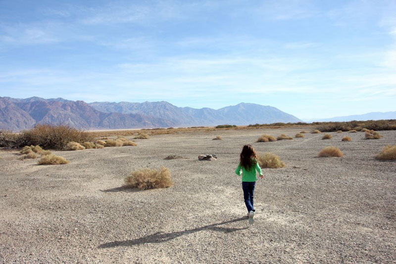
Allison jogs towards benchmark GS0206 near Shorty’s Grave
Disclaimer – This information is provided from the best of my recollection and is necessarily subjective. GPS data is from a personal device inside my vehicle, so coordinates will not be exact. Typos are possible. Use of any of this information is at your own risk and responsibility – period. Conditions change (especially in winter), vehicles and driver skills vary, etc. and I have no control over these things. Don’t let anything written here override your own personal common sense or safety.