Drive #15: Slate Mountain

Drive #15: Slate Mountain
Date Driven: 5/24/08
Length: 29.3 miles
My Drive Time: 2 hours 19 minutes
Start: Wentworth Springs Drive, N38º 56.163′ W120º 44.594′
End: Near Placerville, N38º 44.092′ W120º 47.144′
GPS Track: GPX or KMZ format. (right click -> Save As)
Source(s): Trail NS14 in Backcountry Adventures Northern California.
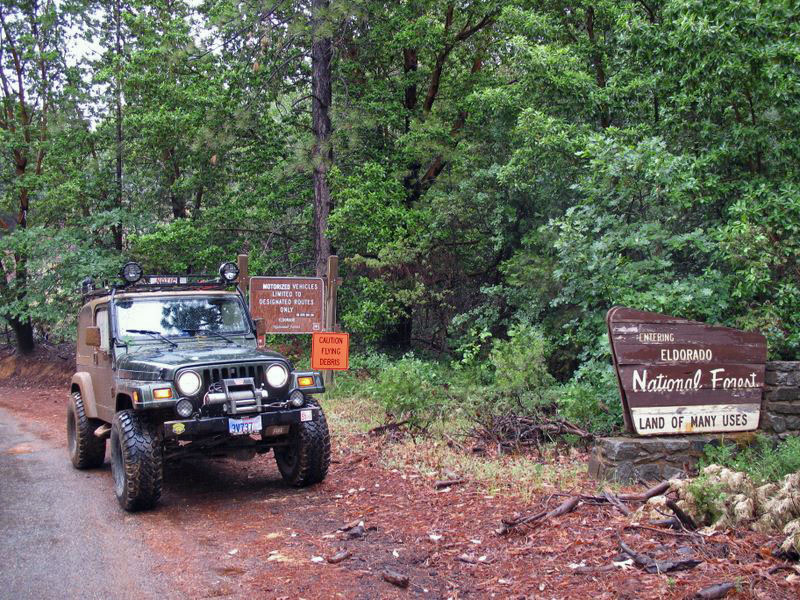
Summary: A fun drive through the woods of the Eldorado National Forest just outside Placerville, CA. Closed Nov. 10 to May 1st.
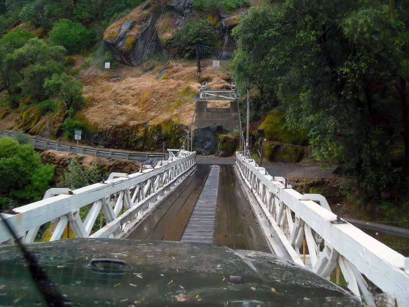
Description: An overall easy drive, you’ll still want a high-clearance vehicle here for some sections. The trail to the Slate Mountain peak is a narrow shelf road with encroaching brush and trees in places. Perhaps “encroaching” is an understatement, as you’ll see from this view looking out of my windshield:
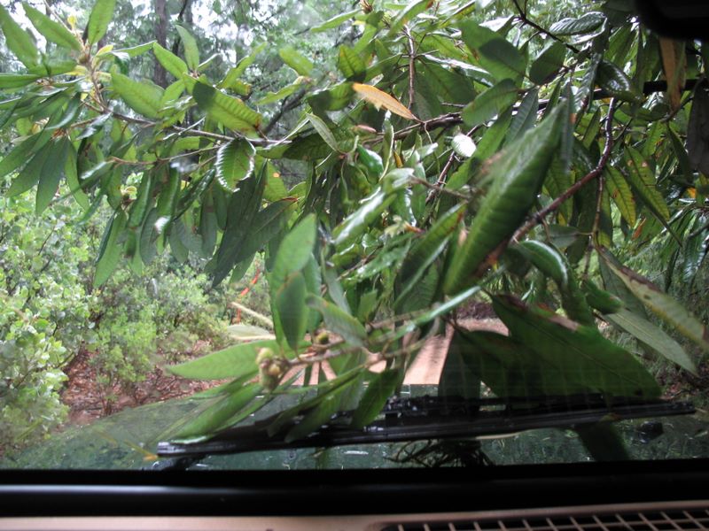
This is one of the few places I’ve been where limb risers would have been useful. Besides likely pinstriping, a friend had a side mirror pulled off of his truck here. Very wide vehicles will want to avoid this section.
The trail passes through the Rock Creek OHV area and is closed from November 10 to May 1st to help protect Pacific deer who winter there.
Slate Mountain peak used to have a fire lookout tower (it is shown in the Massey book) but it was torn down several years ago and only the foundations remain. The microwave repeater building and towers remain. The gate to the peak was closed when we visited, but we parked (off to one side so as not to block any possible traffic) and walked the short distance to the top. It was a rainy day so we didn’t have any views to speak of, but we had a good time anyway.
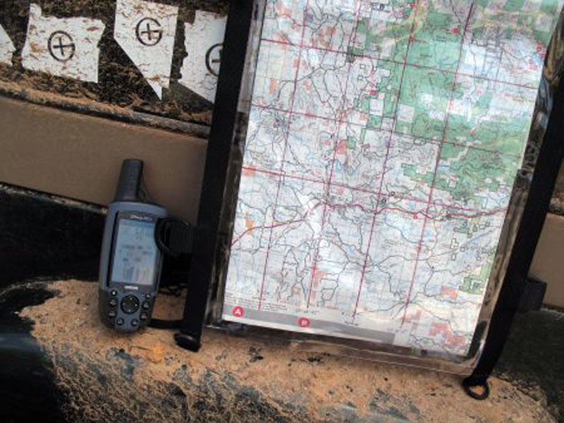
This track includes the waypoints I added from the coordinates in the Massey book. I corrected most of the ones we encountered to bring them closer to what my GPS was showing, but we didn’t get near several of the waypoints. Most of these corrections were very minor.
Here’s the Slate Mountain photo gallery.
Disclaimer – This information is provided from the best of my recollection and is necessarily subjective. GPS data is from a personal device inside my vehicle, so coordinates will not be exact. Use of any of this information is at your own risk and responsibility – period. Conditions change (especially in winter), vehicles and driver skills vary, etc. and I have no control over these things. Don’t let anything written here override your own personal common sense or safety.