Drive #13: Old Coast Road

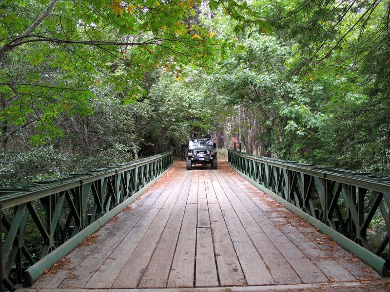
Bridge over the Little Sur river.
Old Coast Road
Dates Driven: 11/27/05, 9/21/07
Length: 10.8 miles
My Drive Time: 2 hours (including many stops)
Start: Intersection of Highway 1 and Old Coast Road, N36º 22.350′ W121º 54.154′
End: Intersection of Old Coast Road and Highway 1, N36º 17.311′ W121º 50.661′
GPS Track: GPX or KMZ format. (right click -> Save As)
Source(s): This drive is very well documented. It’s Trail #50 in Guide to Northern California Backroads & 4-Wheel Drive Trails, Tour #18 in California Coastal Byways and Trail CM51 in Backcountry Adventures Southern California.
Summary: A pleasant detour from paved Highway 1 along California’s beautiful Pacific coastline. Easy dirt road.
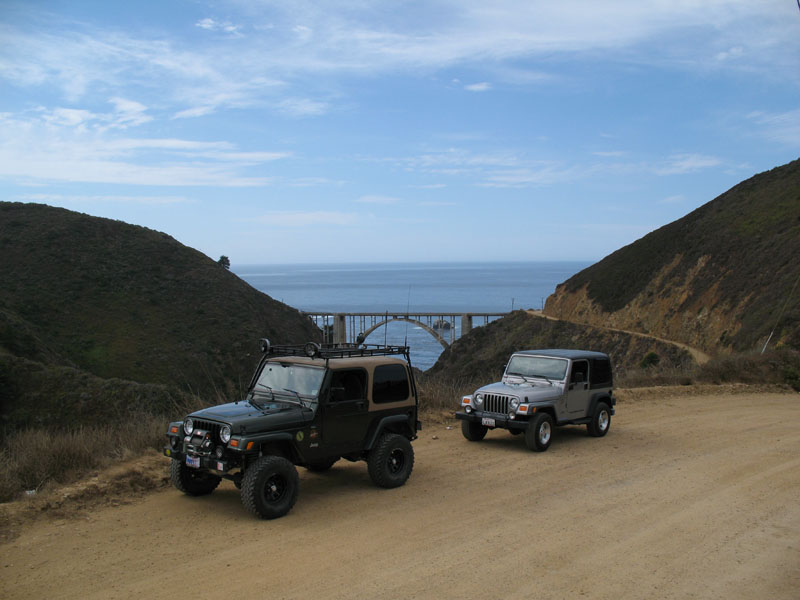
Description: At the northern end of the famous Bixby Bridge there is a dirt road that perhaps millions of drivers see – but never take – every year.
Old Coast Road dates back to around 1855. It used to be part of the route used by wagons and stagecoaches traveling up and down the coast, prior to the construction of modern Highway 1 and the bridge over Bixby Creek. In winter it became impassible due to mud.
Driving away from the bridge to the east, Old Coast Road ascends around a thousand feet, winding up the nearby ridge as a wide dirt road. There are some wonderful views along the way.

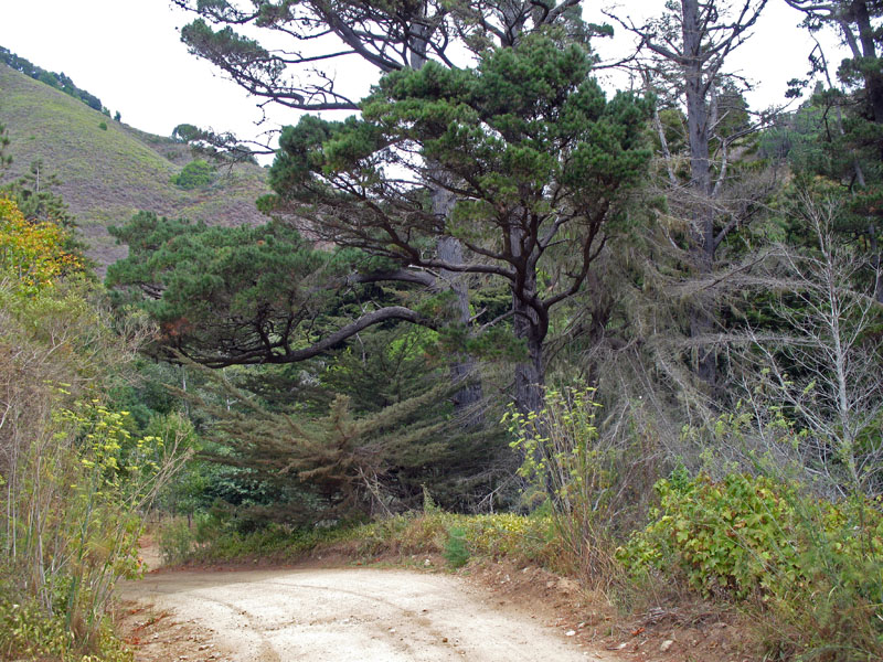
Before long, the road descends and narrows as it passes redwood groves, coastal woods and secluded rural homes. Eventually the road climbs up and down again, ending back at Highway 1.

About 2.5 miles south there is the attractive Big Sur River Inn, a nice spot for lunch. I like to eat on the large back deck by the stream. They also have a general store, and the closest gas stations for many miles. One is located outside the Inn, and the other is just down the street at the Ripplewood Resort. Be prepared to pay a premium for gas at either location, but I think Ripplewood is cheaper.
Here is a small photo gallery from our first drive on this road.
Disclaimer – This information is provided from the best of my recollection and is necessarily subjective. GPS data is from a personal device inside my vehicle, so coordinates will not be exact. Use of any of this information is at your own risk and responsibility – period. Conditions change (especially in winter), vehicles and driver skills vary, etc. and I have no control over these things. Don’t let anything written here override your own personal common sense or safety.
