Tunnels, Caves, Trails and Caches
On Sunday, August 10th, I met up with Steve (Workerofwood) and Dave (Fizzymagic) for a day of targeted geocaching. We’d identified several geocaches in the

We started off with a “Wherigo Cache”, a newer and special type of geocache that requires specific PDA or GPS hardware in order to play a kind of interactive Q&A game. The cache was located on UCSC and we were looking forward to it. Alas, a known bug had recently cropped up that prevented our Garmin Colorado from working properly, and we had to abandon the attempt about sixty seconds after we’d begun. Not an auspicious start to the day.
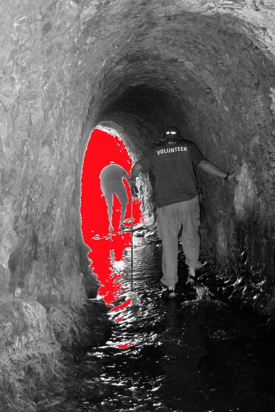
We knew it was about the peak of low tide, so we decided to head straight for our next targets: several caches that required entering beach tunnels, wading through shallow water (usually below our knees), and finding geocaches on the other end. We all loved these geocaches, which provided a sense of adventure that you just don’t get with most caches. We had a blast. I almost lost my GPS at one (it fell onto the beach without me noticing, and we had to backtrack to find it), we slipped here and there, climbed some short but steep access trails, and generally had a fine time.

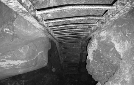
We got to the last tunnel cache which was noted to be much more on the crazy side than the others. Some of these tunnels aren’t appropriate or safe to be in, so you don’t want to just go zipping through any random one you find. This one required a very careful descent of a crumbling cliff “trail”, then up a fifteen-foot climb into the mouth of the tunnel. The tide was up too far by this time though, and despite a doomed and ill-advised attempt by Dave to make the climb up to the tunnel (he got whacked by a huge wave), we had to concede defeat here. Steve had wisely stayed on top of the cliff in the first place, mumbling something about risk management. Dave and I made our ascent back up the cliff (much easier than going down) safely and we started heading back towards
On the way we made some more detours, including a stop at Wilder Ranch where we finally found a Wherigo Cache final, no thanks to the Garmin Colorado which had again failed. We also stopped at the
We finally grabbed some pizza for lunch (with a pint of

We hiked the park, stopping for the plentiful and delicious blackberries along the start of the trail, before making our first find near the old clubhouse. It seems such a shame when cities or agencies have property donated and then let the buildings rot away…
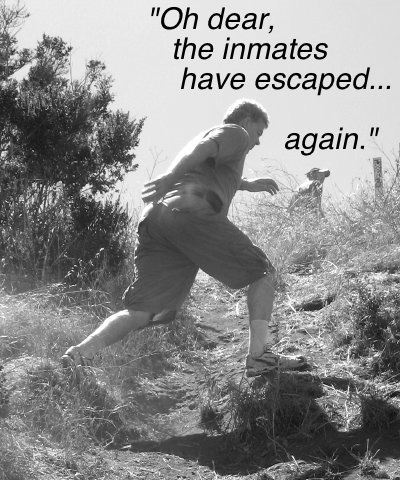
We then had about 400 or 500 feet of elevation gain to knock off before reaching the Return of the Spot cache we’d come for. After a full day of physical caches and that lunchtime beer, I was beginning to feel tired on the way up. But we made good time and reached the very cool, unusual location (I won’t spoil the surprise) which I can honestly say I liked a lot better than
After that we trekked back to the car for the drive back to Steve’s house, where all three of us had to rush off in opposite directions to meet other obligations.
It had been a full, fun day, with around 16-20 finds for each of us over 10 hours or so. We all noted that it had felt like a day of “old school” geocaching, which I think makes us cranky old cachers. No matter, we’d cherry-picked a full day of caches that we wanted to do most, with other random ones along the way, and had a great time. It really helped to have two good friends to share it with too.